Welcome to the fi.kuoste.terraintile repository! This Unity package is designed for creating realistic landscapes from NLS Finland point clouds and other geospatial data.
Click the image below to see the package in action!
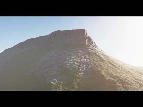
- Terrain Prefab: Utilize the included terrain prefab to kickstart your landscape creation.
- GIS Data Integration: Seamlessly import GIS data to shape your terrain to real-world topography.
- Point Cloud Processing: Convert point clouds into detailed terrain meshes.
To get started with fi.kuoste.terraintile, clone this repository and import the package into your Unity project. Follow the instructions in the Samples folder to learn how to integrate point clouds and GIS data into your terrain.
Copyright (c) 2025 Kuoste
Software may not be used for any commercial purpose. Please contact for a commercial license.
The software is provided "as is", without warranty of any kind.
Modification of the software is permitted. Credit original author. Modified software may not be used commercially.
Vellu Sorvari LinkedIn