



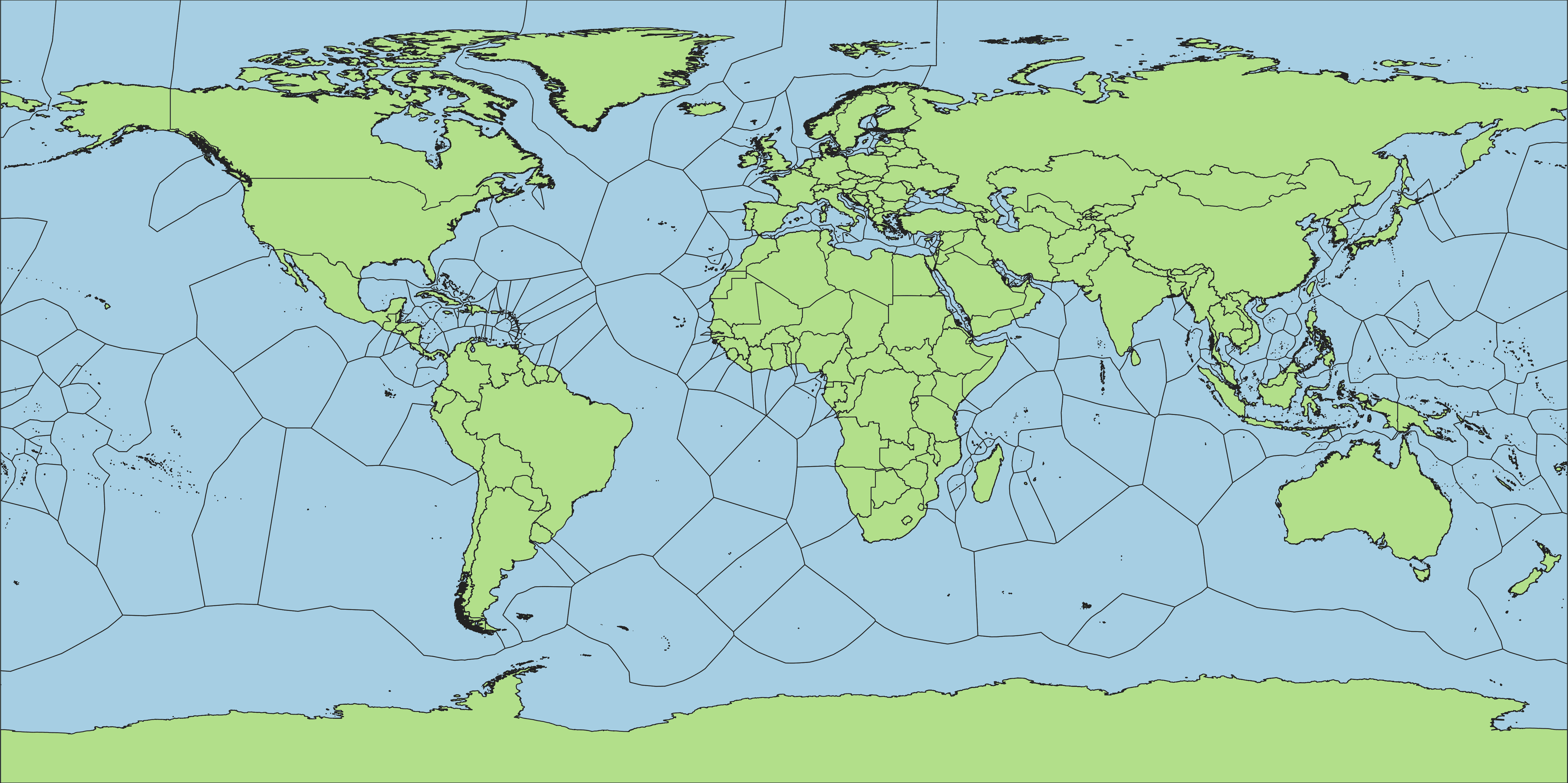
topo-tools is a collection of DuckDB-powered geospatial topology utilities
for cleaning and reconciling administrative boundary polygons. It ships four
tools, usable from the CLI or as a Python package:
| Tool | What it does | Usage |
|---|---|---|
| clean | Detects and fixes gap/overlap defects in a single polygon layer; reports slivers separately for manual review. | docs/clean.md |
| extend | Fills gaps around a polygon layer (missing coastline, disputed areas, water bodies) with a Voronoi extension, producing full coverage. | docs/extend.md |
| match | Fits a finer child polygon layer into a coarser parent layer, grouping and extending each child to fill gaps within its own parent. | docs/match.md |
| change | Compares two versions of a polygon layer and classifies every unit as unchanged, renamed, modified, split, merged, created, or removed. | docs/change.md |
uv tool install topo-tools   # CLI (recommended)
uv add topo-tools            # Python library
Or with pip:
pip install topo-toolsEach linked doc above covers that tool's CLI/Python usage, options, and examples.
Polygon inputs/outputs: GeoParquet (.parquet), GeoPackage (.gpkg),
Shapefile (.shp), GeoJSON (.geojson). Output format matches input format.
change's tabular changelog is CSV or GeoParquet only; its spatial overlay
layer supports the same four formats as the other tools.
See CONTRIBUTING.md for development setup.